

About Curry
Curry is a rural, close-knit locality in south County Sligo, centred around the village of Curry and the wider countryside between Charlestown, Aclare, Doocastle, Tubbercurry and Cloonacool. The area has a strongly rural character, with farms, open landscapes and dispersed homes, while Curry village provides a modest local centre for everyday needs and community life. Families generally rely on nearby primary schools and travel to Tubbercurry, Charlestown or larger towns for broader secondary education and services. Road travel is central to daily life: the N17 provides access towards Charlestown and Sligo, while Tubbercurry and Charlestown offer additional shops, cafés, pubs and professional services. Local social life is associated with traditional pubs, GAA activity and community events, with the Curry area known for its strong sporting and parish connections. The surrounding countryside offers walking, cycling and access to the wider Ox Mountains landscape, while nearby Tubbercurry provides more extensive recreation and shopping. Sligo town is reachable by road for major employment, retail, healthcare and cultural facilities, and Ireland West Airport Knock is also within practical driving distance.
Property Market in Curry
Based on 17 properties for sale in Curry
Property types
Bedrooms
New listings covers the last 3 months; all other figures reflect properties currently for sale.
What’s in Curry
Schools
Local primary school serving children from Curry and the surrounding rural parish.
Nearby primary option in Tubbercurry, serving the wider south Sligo community.
Mixed secondary school offering education and a broad extracurricular programme nearby.
Independent secondary school in Sligo town, accessible for families commuting further.
Transport
Plan your journey ↗Main regional route linking Charlestown, Tubbercurry and Sligo-area destinations.
Nearby scheduled bus connections serving the N17 corridor and regional towns.
Nearest rail access, with services towards Dublin, Sligo and regional interchange points.
Convenient regional airport for domestic and European flights, reached by road.
Amenities
Small local centre supporting everyday needs, community activity and parish life.
Local venue for meetings, classes, social events and community gatherings.
Nearby town centre with supermarkets, independent shops, cafés, pubs and services.
Local sporting facilities supporting Gaelic games and community sporting activity.
Nearby rural village offering additional community, retail and hospitality facilities.
Main acute hospital serving Sligo and the surrounding north-west region.
Local Clubs & Businesses
Gaelic games club with strong local participation and community involvement.
Local voluntary organisation supporting facilities, events and parish development.
Nearby commercial community supporting independent shops, services and local enterprise.
Network of local groups organising social, charitable and cultural activities.
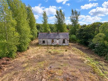
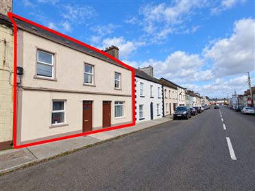
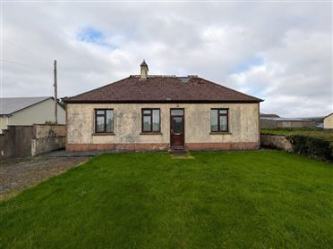
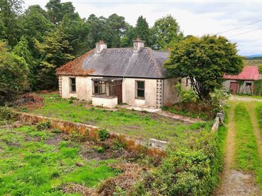
Properties For Sale near Curry




Nearby Areas
About this guide: This neighbourhood guide includes content generated with the assistance of artificial intelligence and images sourced from third-party platforms including Wikipedia. While we aim for accuracy, details such as local amenities, transport links, schools, and property data may change or contain errors. This content is provided for general informational purposes only and should not be relied upon as a substitute for independent verification. MyHome.ie accepts no liability for inaccuracies, omissions, or decisions made in reliance on this content.